How does water shape our world? This is the title and subject of our current science unit. The students and I have been discovering how water moves in our world and how water shapes the land and landforms around us.
We’ve used national parks – specifically Grand Canyon National Park and Hawaii Volcanoes National Park to begin the study of landforms and how water moves through these two national parks and has shaped landforms. In the coming weeks, we’ll be using three additional national parks to look for patterns, similarities, and differences: Shenandoah, Rocky Mountain, and Isle Royale.
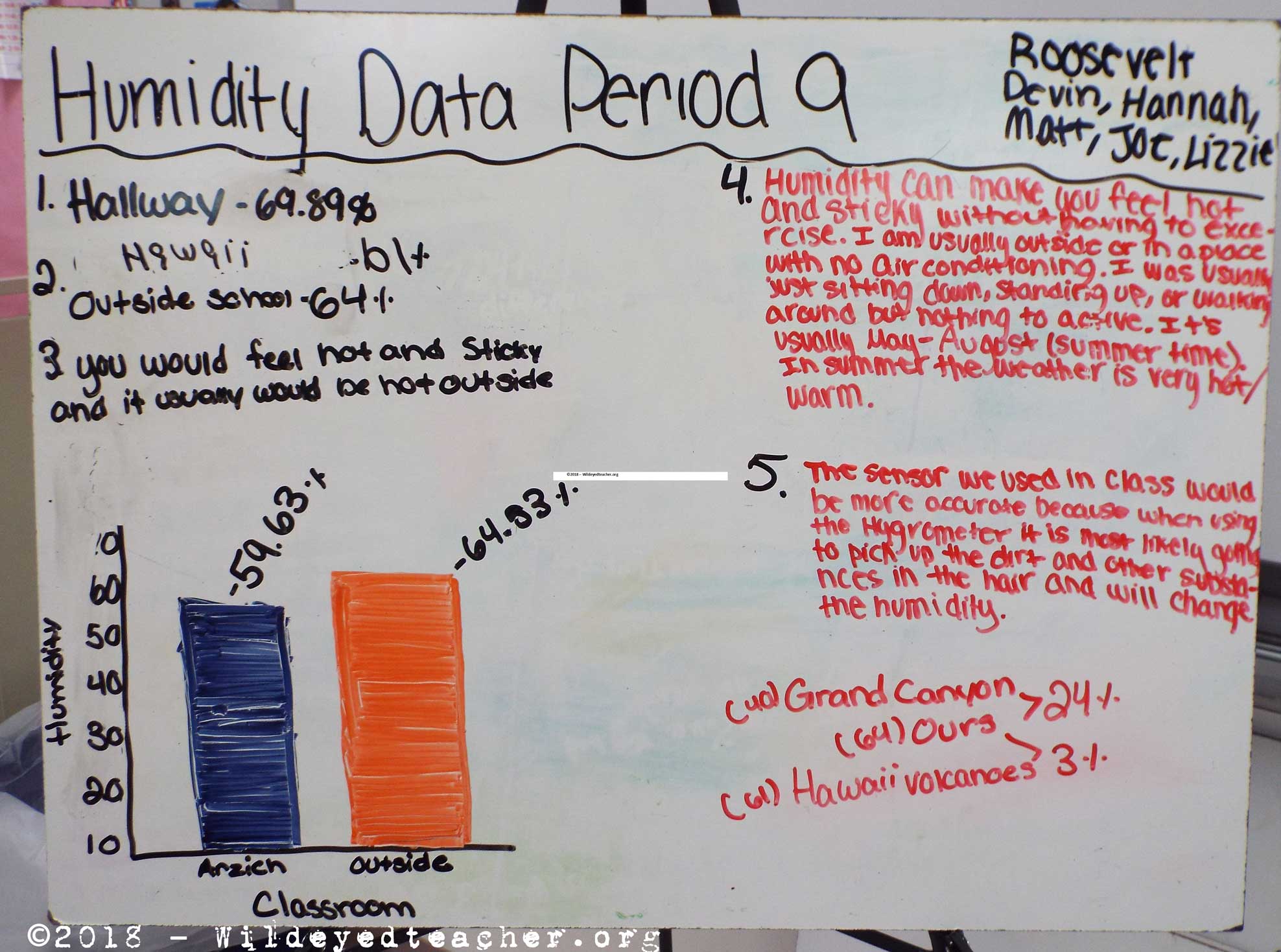
 When we returned from winter break, we used the Vernier Labquest2 hand-held technology and relative humidity sensors to measure the water vapor in the air. We were fortunate to have a cold dry day followed by an unseasonable warmer (10°C / 50°F) January day with relative humidity readings well above 50% in the building and outside. It was an excellent experience for the students to work on their science data collection and analysis skills. The groups used the data to continue to develop their science presentation skills by whiteboarding their group’s results.

